About
| NAME | Porto di Brindisi |
| LOCATION | old town and Casale area |
| Dating | age of the Messapi (800 a.C.-701 a.C.) |
Description
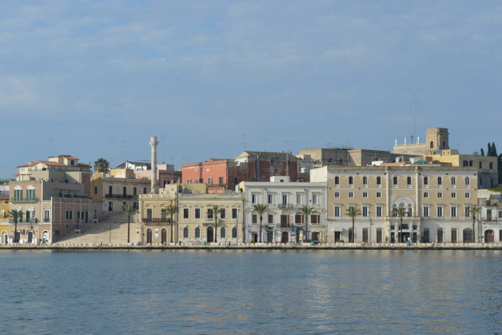
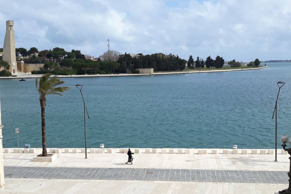
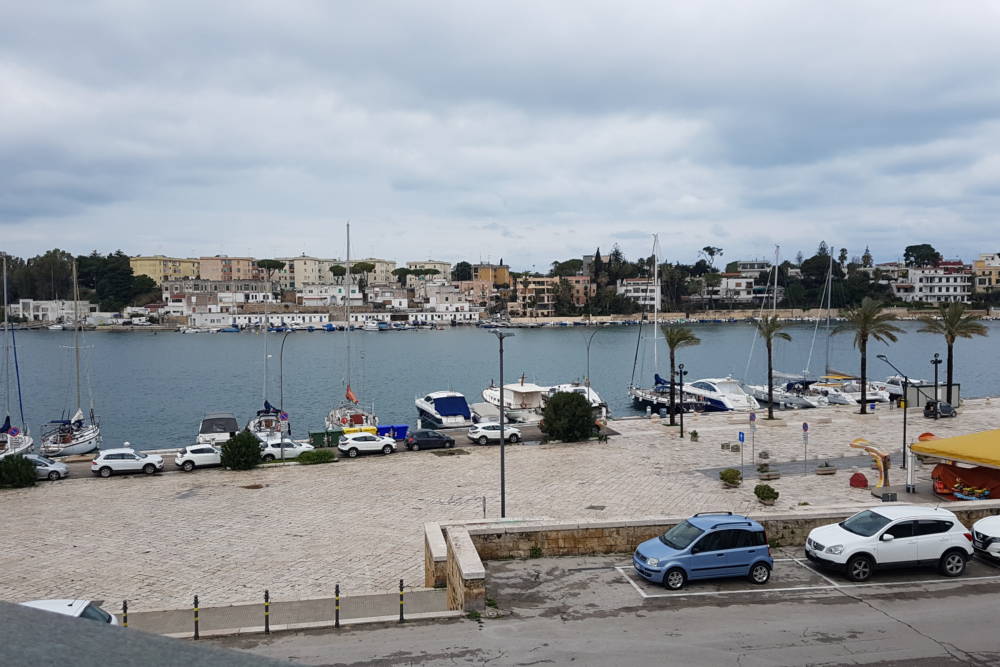
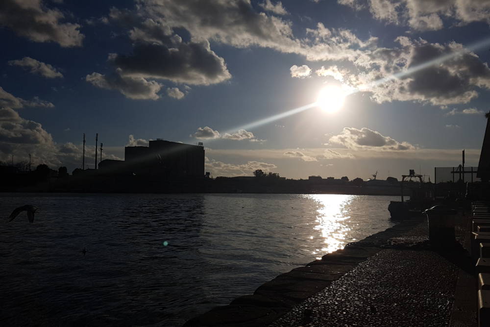
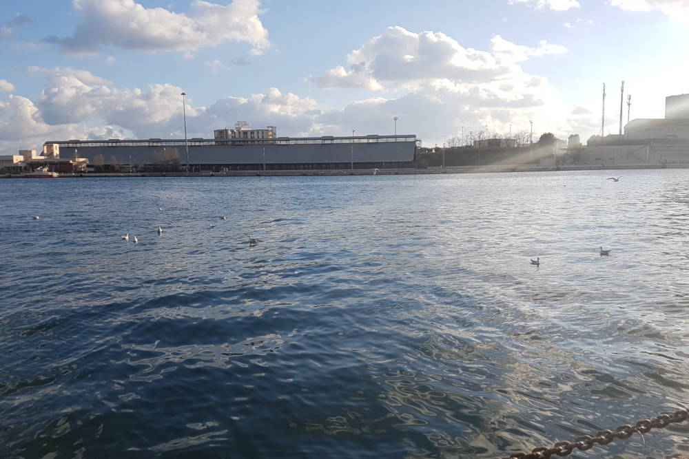
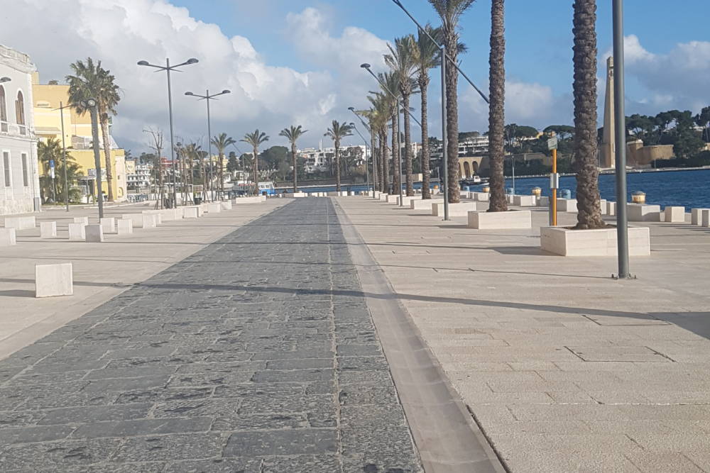
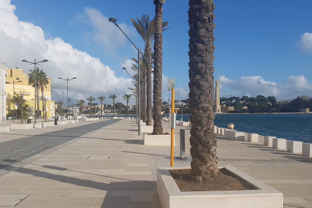
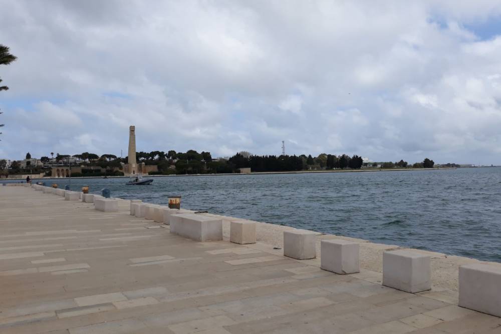
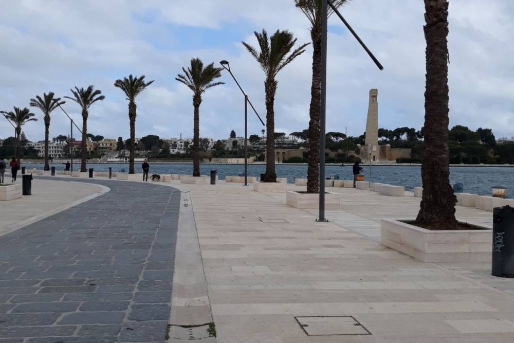
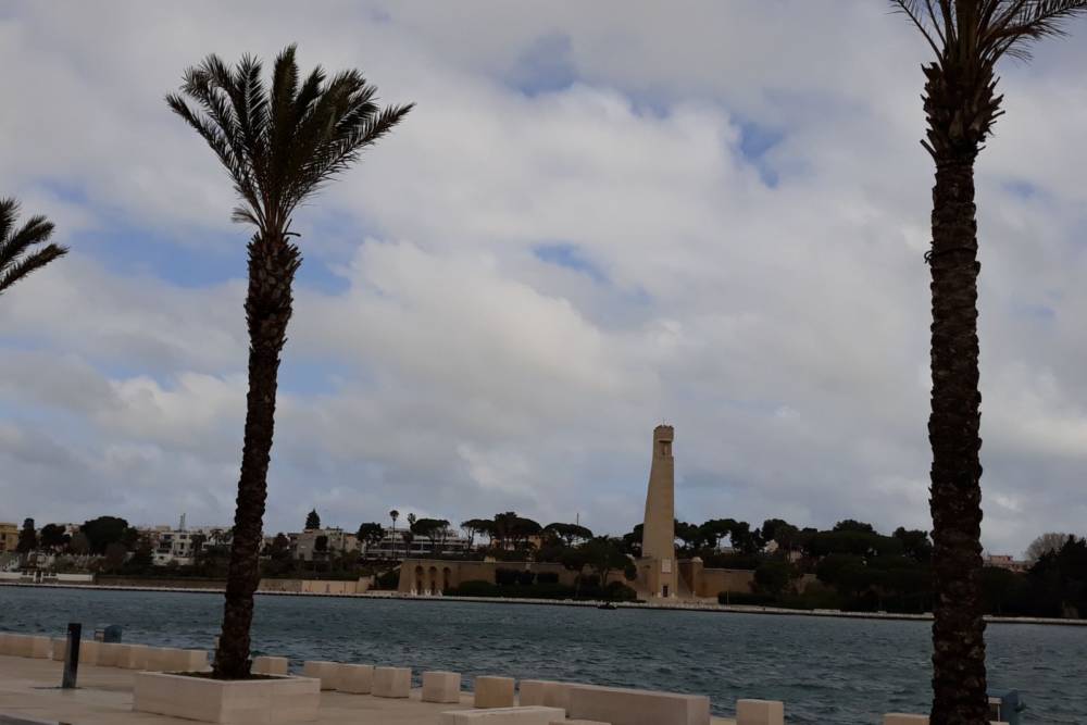
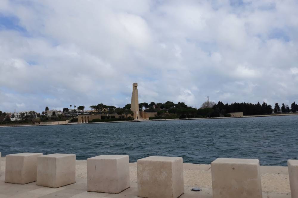
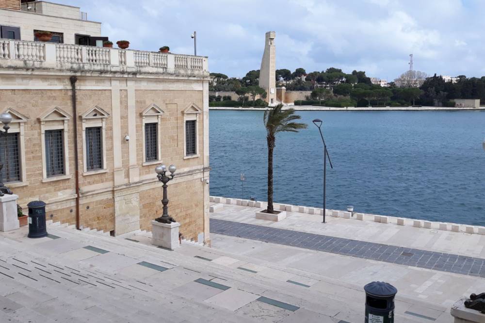
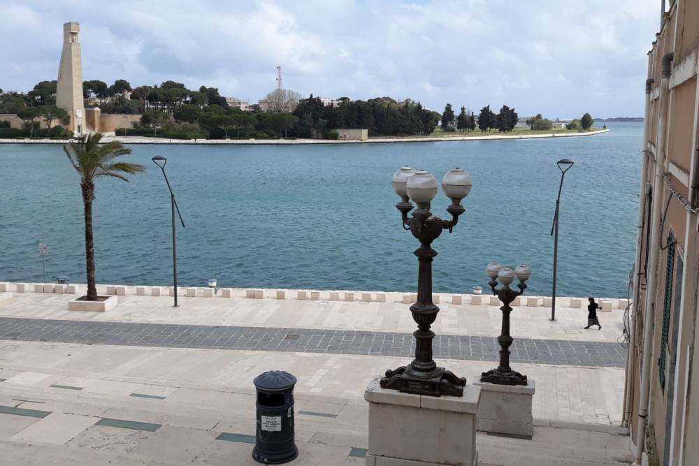
The harbor is divided in three zones: internal harbor (10 meters deep), medium harbor (14 meters deep) and external harbor, overall around five millions square meters. It has several functions: touristic, military, industrial, trade-related. The harbor was already in operation during the age of the Messapi, but had a period of prosperity during the Roman age. It rises in a vast funnel-shaped inlet that wedges in the coast. From the harbor it is possible to reach the main greek and Albanian sites in a short time.
Curiosities
The Valigia delle Indie was an international postal route that carried travelers and mails from London to the current Mumbai between 1870 and 1914. The first official trip from Brindisi’s harbor happened on the 25th october 1870. But the Italian Government didn’t provide new facilities to the harbor, therefore the English society decided to use the French harbor of Marseille, until the permanent dropout of the Apulian harbor in 1914. However, it seems that the abandon of the harbor was due to winds of war that already exhaled at that time.
The Motobarca or ferry is a vessel that links due different sides of the city, allowing the citizens to reach the old town via sea without wasting time.
The word “Sciabiche” comes from the arabic “sciabbach” which means fishing net. But for the citizens of Brindisi Sciabiche was the name of the area that in the 1800s had as borders Montenegro street to east, Saint Theresa and Saint Paul to south, Sdrigoli to west, and that backed onto the sea for about 400 or 500 meters on the north-west shore of Seno di Ponente.
In the Casale zone, we find the exotic Villaggio Pescatori, designed to host people from the Sciabiche area. The zone was destroyed at the beginning of XX century due to the chronicles that talked about decrepit houses and without basic services, as the older people said.
Fishermen, boatmen, plain people with their own utensils animated this characteristic zone also known as “Riva dei Pescatori”; these were the social figures that were “forced” to take place in what was considered the place in which the wealthiest classes spent their holidays or took refuge from the miasmas of the inernal harbor.
Occasionally, small groups of dolphins visit the city, stopping peacefully in the harbor.
What to find in the area
Roman Columns at the end of Via Appia;
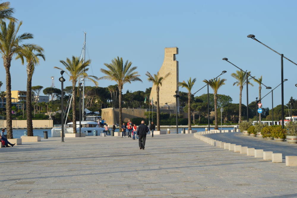
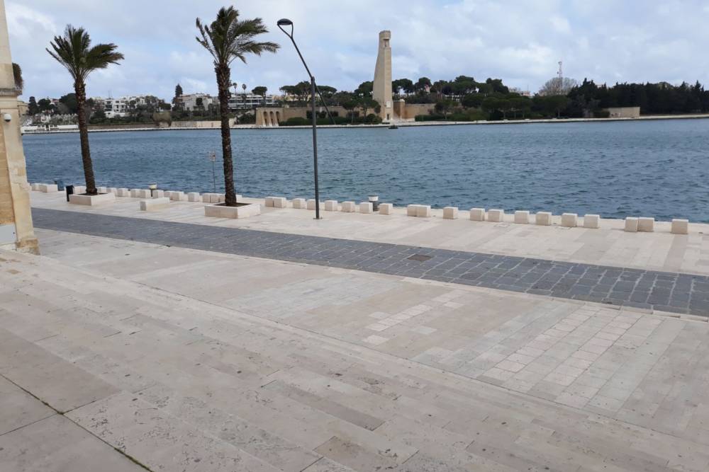
Monumento al Marinaio;
Vittorio Emanuele II square;
Hotel Internazionale;
La casa del Turista;
Info point Puglia Promozione;
Faldetta archeological collection;
Alfonsino Castle;
Santa Teresa square;
Via del Mare;
Corso Giuseppe Garibaldi;
Viale Regina Margherita.
Where to take photos
Virgilian staircase;
Monumento al marinaio;
Alfonsino Castle at sunset;
Le Sciabiche;
Villaggio Pescatori.
